After multiple back-to-back days of hot, humid weather across South Dakota, temperatures will cool down a bit for the rest of the work week.
Kelly Serr is the Warning Coordination Meteorologist at the National Weather Service Office in Aberdeen. She says we’ll have more normal July temperatures for the next few days.
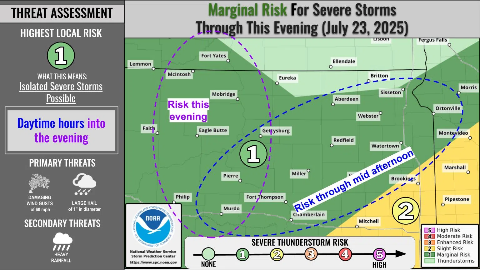
Severe storms including tornadoes, straight line winds and lightning have caused damage across the region in recent weeks. Serr says high humidity levels increase the chances of severe weather popping up– in some cases, seemingly out of nowhere.
Serr says we can blame some of the recent high humidity on “corn sweat.”
In central South Dakota, the current forecast shows temperatures in the 80s on Wednesday and Thursday (July 23-24, 2025) and the lower 90s on Friday.


Comments